Marine Chart Tools
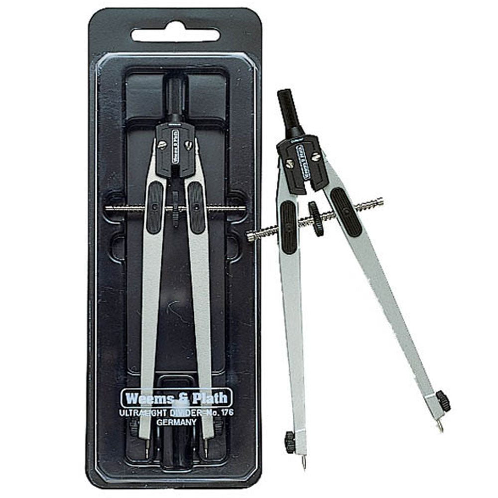
Marine chart tools help you plot courses, measure distances, and work with paper charts for navigation. Shop dividers, parallel rulers, and plotting tools for traditional chart navigation.
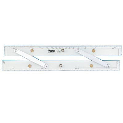
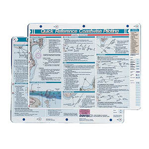
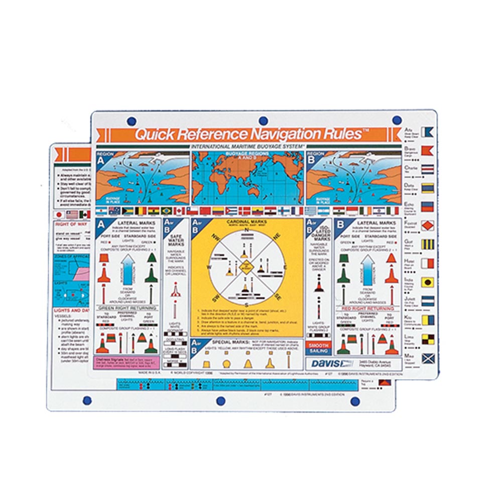
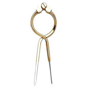
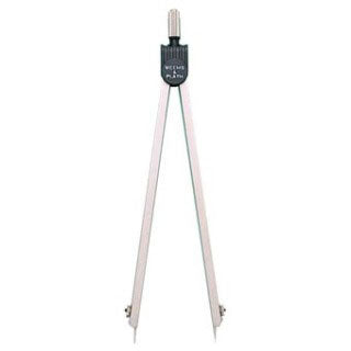
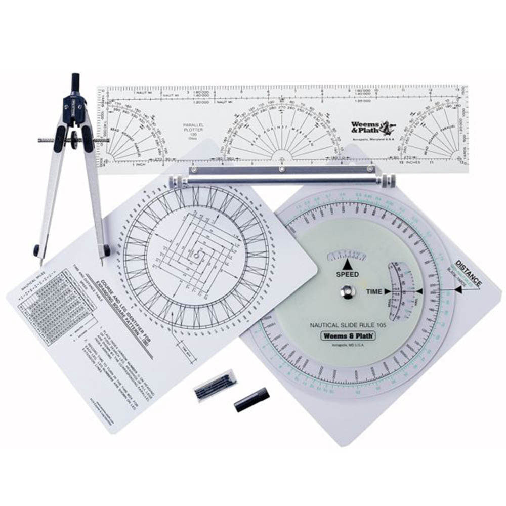
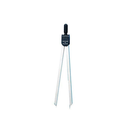
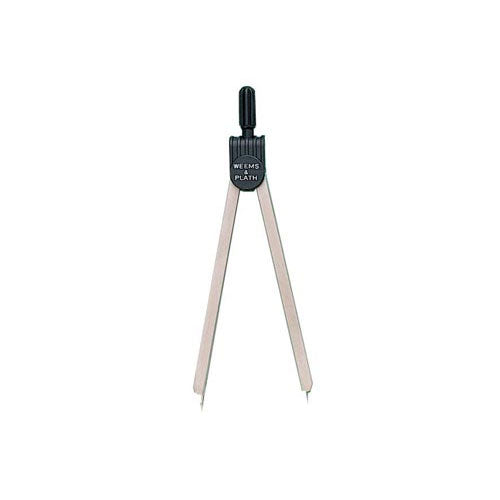
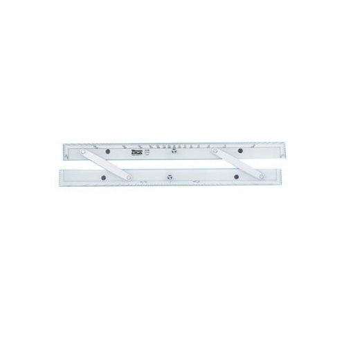
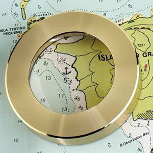
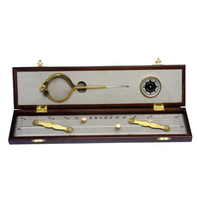
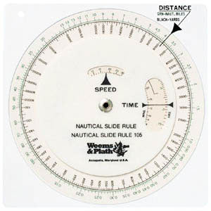

Marine chart tools help you plot courses, measure distances, and work with paper charts for navigation. Shop dividers, parallel rulers, and plotting tools for traditional chart navigation.